The Straw Woman and the village centre
The Straw Woman uses Turville School as a village hall, while the green beside St Mary the Virgin Church hosts the straw-woman festival and burning effigy. These are separate parts of one episode’s constructed event. Keep the school and green as two entries when comparing the real village with the scene, rather than expecting a permanent festival attraction to remain after filming.
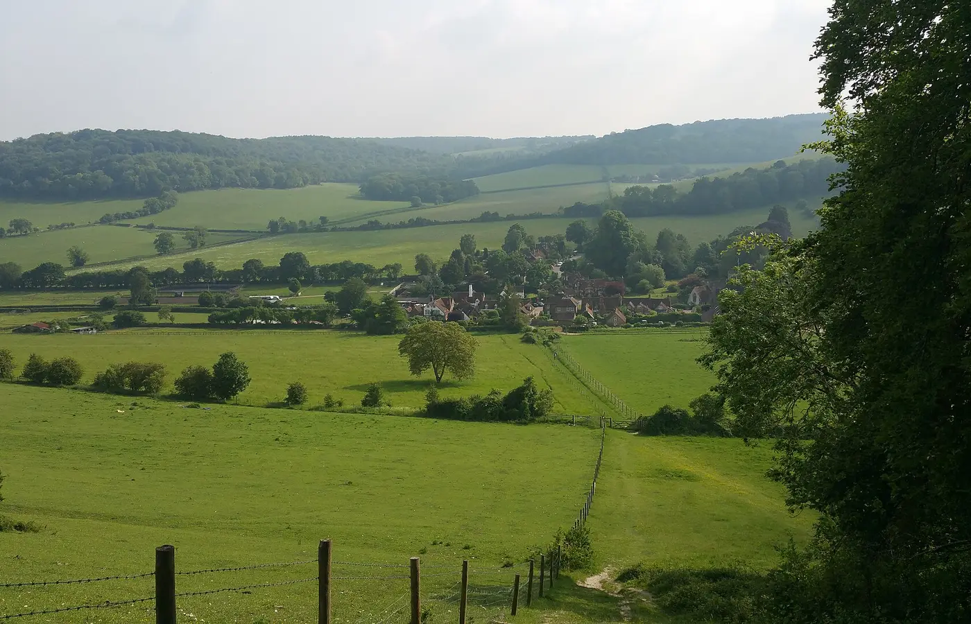
The relationship between the low buildings, church and surrounding slopes makes Turville a compact setting to recognise. Look at the public views and the way the episode connects them. A short comparison can be more satisfying than a long hunt for every camera position, especially in a village whose ordinary residents and road users still need the same limited space.
The Bull & Butcher under two names
Murder on St Malley’s Day dresses The Bull & Butcher as The Chalk and Gown for the Devington school story. Schooled in Murder brings it back as The Spotted Cow. The real pub name remains the practical link between those appearances. Use Turville and The Bull & Butcher when finding current business information, then attach each fictional sign to the right episode.
Those two roles are a useful reminder that a familiar exterior need not imply the same fictional community. Compare the establishing views and the immediate surroundings rather than relying on the name shown over a door. Any plan to eat or drink there should be checked against the operator’s own arrangements, independently of its past use for a scene.
Midsomer Pastures and Whitcombe Grange
Schooled in Murder also uses a wide view of Turville to introduce Midsomer Pastures. Death by Persuasion gives the village another identity, Whitcombe Grange, during the Jane Austen event. These broader village matches belong alongside the particular pub and school connections, but they work at a different scale: a view of the settlement establishes a story world rather than a single room.
If one of those episodes prompted your visit, watch its opening village views again before setting out. Note the buildings and hillside shapes that make the location recognisable. Then use the real map to decide where you can walk and look from public space. The enjoyment comes from recognising how a real place has been assembled into an invented one.
The Barn at Turville Heath
The Sting of Death transforms The Barn into a beehive café, while A Climate of Death uses it for the chilli competition in Goodman’s Land. This connection is in Turville Heath and should be kept distinct from Turville’s village green and pub. The wider location link groups the area for browsing; it does not place every named building in the village centre.
For a route, decide whether the village itself or the wider group of episode settings is your priority. Use the exact real place name for any separate stop, and check access through the property’s own arrangements. The two fictional businesses and events explain the television connection without establishing a present visitor attraction or café service.
A measured stop in the Hambleden Valley
Turville can be compared with Fingest and Hambleden through the wider valley map. Choose a signed public route if you want to connect villages on foot, and plan the return as carefully as the outward journey. The small scale that makes the village attractive on screen also makes consideration important when choosing where to stop, photograph or leave a vehicle.
For an overnight search, compare the surrounding town bases with the beginning and end of your chosen route. Keep the pub, green, school and Turville Heath barn as separate items on your episode list. That gives you several precise connections to revisit afterwards while leaving time on the day to appreciate the real valley and the village’s ordinary life.